Invasive Species Geo-simulation System
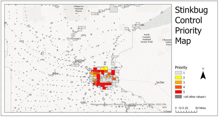
This project developes a real-time pipeline system to monitor the spread of the stink bug in Minnesota. The pipeline leverages three distinct models - Gravity, Monte Carlo, and Huff to simulate the potential dispersion patterns of this invasive species on a monthly basis.
The automated system processes the simulation outputs and subsequently uploads the results to a PostGIS database. It employs Google Cloud service and Flask application to host the resulting map layers. The final spread pattern map is presented in GeoJSON format and uploaded to ArcGIS Online for easy access and visualization.
The codes and detailed documents can be retrieved via my GitHub Repo.
Yaxuan (Sean) Zhang
PhD Candidate at UMN | MGIS Student | Computer Science Minor
My research interests include geospatial data science, transportation planning, and GeoAI.